32 Dec, 2020
Consultancy services
Project completed
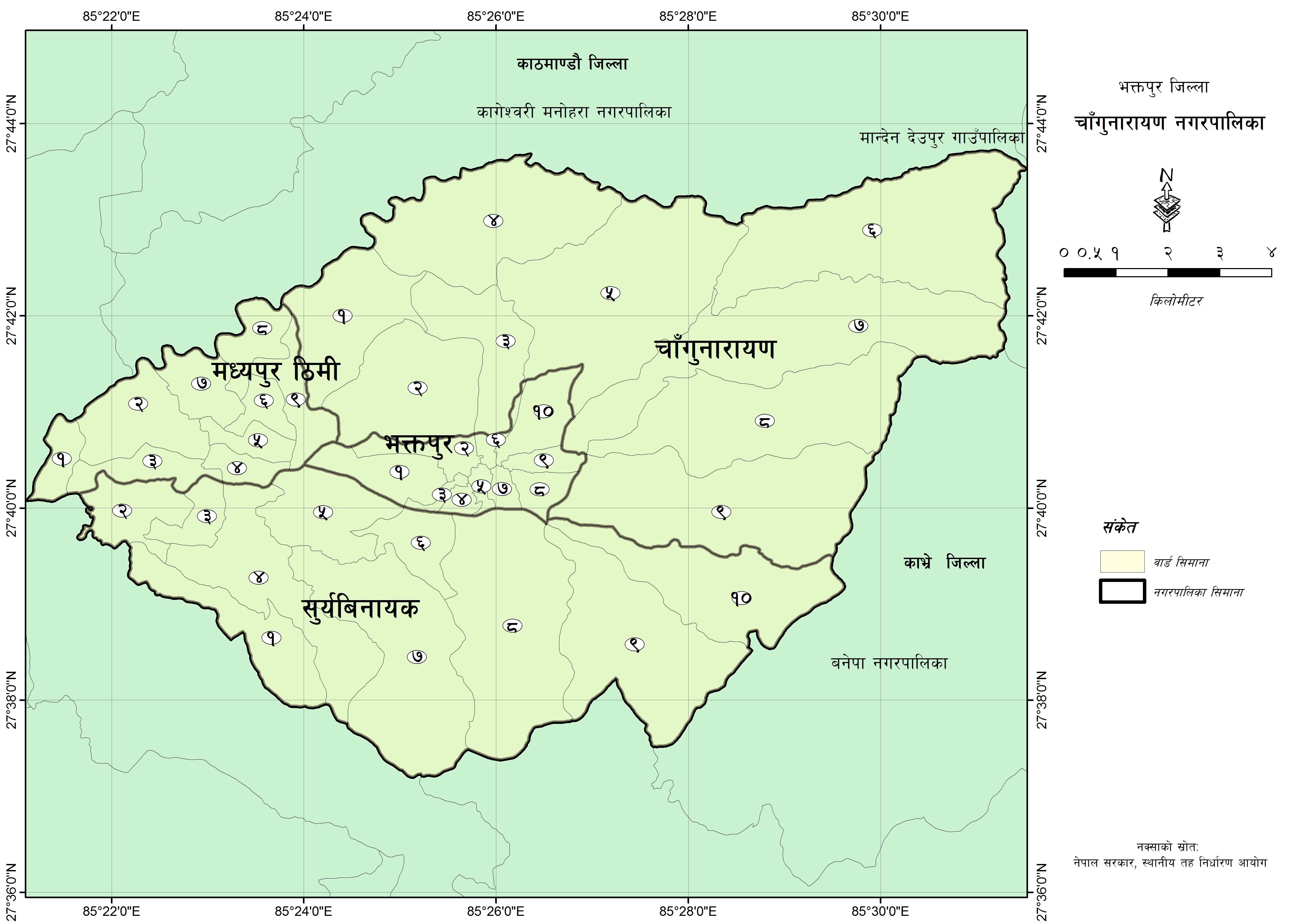
- 15)GIS Mapping of Changunarayan Municipality and Bhaktapur District 2017.
- 14)Resource Map of Budhanilkantha Municipality, Golphutar, Kathmandu 2072.
- 13)Earth Quake Impact Mapping of Nepal, Supported by International Centre for Integrated Mountain Development (ICIMOD) Nepal, 2015.
- 12)GIS Map and Resource Database Preparation on Master Plan of Tourism Development and Management of Rukum District, funded by Nepal Tourism Board and Rukum DDC 2012.
- 11)Compiled and Analysis small irrigation database funded by Directorate of Agriculture Extension (DAE), 2012
- 10)Small Irrigation Sub-Project in Nepal, Funded by Directorate of Agriculture Extension (DAE), Ministry of Agriculture Development, GoV, Nepal 2012
- 9)Written and published a book on” Small Irrigation System in Nepal: An Analytical Preview from Agricultural Perspective of Batch I Irrigation Sub-projects under CMIASP. (Krishna Poudel and Suresh Sharma). – Lalitpur: Directorate of Agriculture Extension, Government of Nepal, 79 pages
- 8)Application of GIS in Local Level Planning, Taksar VDC, Syangja District 2011
- 7)Collected and compiled information of Nepal GIS Users profile.
- 6)Prepared a research paper and published in ‘Application of geographic information systems in village development plan of Taksar VDC, western Nepal. In Pushkar K Pradhan, Ján Buček and Eran Razin (E) Geography of Governance: Dynamics for Local Development. Bratislava,: Geography International Geographical Union Commission on Geography of Governance. Pp.227-233.
- 5)Nepal GIS Society and CREHPA, Nepal has completed a project on location maps of Comprehensive Abortion Centers (CAC) of Nepal, in 2009 – 2010.
- 4)GIS Users Survey 2010, funded by High Level Commission for Information Technology (HLCIT) Gov. of Nepal 2010.
- 3)Map preparation of Eye Hospital and Ophthalmologist distribution in Nepal, demand-based service to Netra Joyoti Sang, Nepal, in 2008.
- 2)Social Mapping of Rapti District in Collaboration with Geomatics Nepal Pvt. Ltd in 2007.
- 1)Local Development Planning and GIS Mapping of Tanahun District , funded by PDDP/LGP Bridging phase, UNDP in 2003